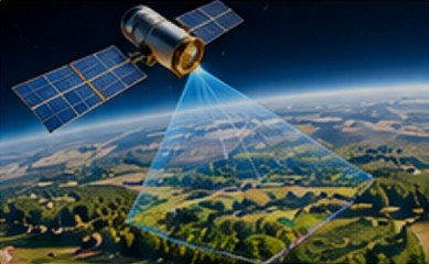
Satellite intelligence
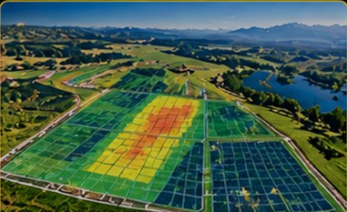
- Orchard mapping
- Tree and soil health analysis
- Yield estimation
- Harvest planning
 From insight to impact
Combining satellite intelligence, expert systems, sensing and robotics to create a new closed-loop approach to autonomous orchard harvesting.
A differentiated combination of satellite, analytics, sensor, telemetry and drone capabilities, integrated into one unified Environmental Intelligence Platform.
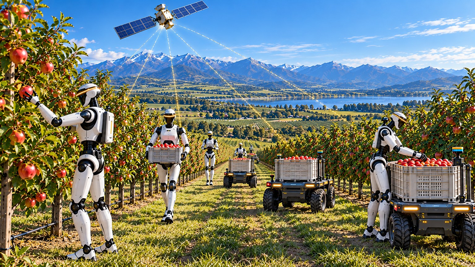
From orchard intelligence to robotic action: a closed-loop approach to autonomous orchard harvesting.
Explore harvesting →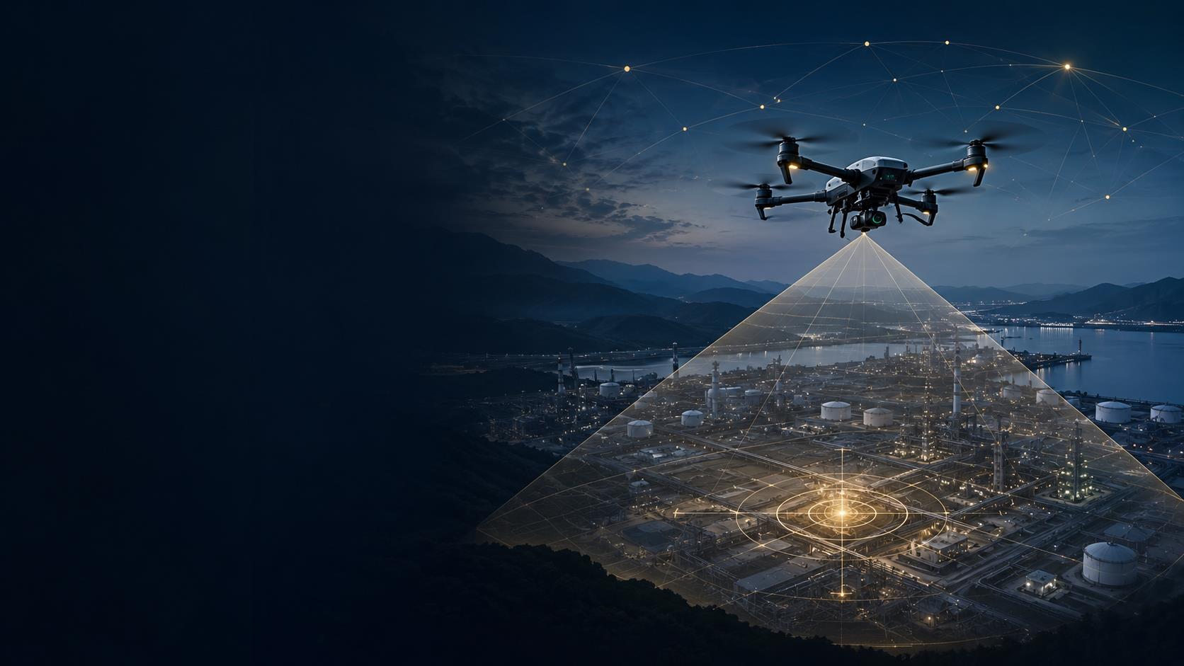
Drone-enabled detection, spatial awareness and actionable intelligence.
Explore detection →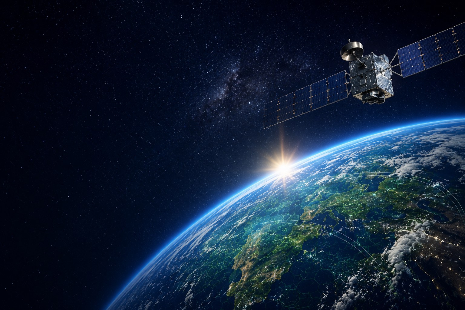
Supporting more informed exploration decisions through integrated geospatial intelligence and environmental data.
Explore mining →Terra Bella is combining satellite orchard intelligence, expert systems and sensor technology to create the intelligence layer for autonomous robotic harvesting.
Select a point to explore
The opportunity extends beyond automating fruit picking. By bringing assessment, grading and decision-making into the orchard, Terra Bella can help simplify the entire post-harvest workflow.
By moving intelligence, assessment and grading into the orchard, the opportunity is to reduce handling and bypass significant packing-house processing before cold storage.
Combining Terra Bella intelligence with leading robotic technology
Terra Bella has developed the satellite, software, sensing and intelligence capabilities needed to support autonomous harvesting. The next step is to integrate these capabilities with robotic platforms and validate the complete system in commercial orchard conditions.
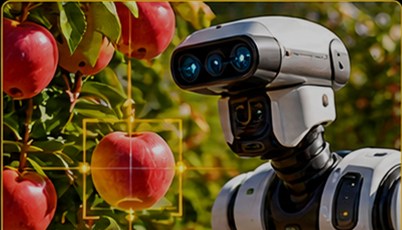
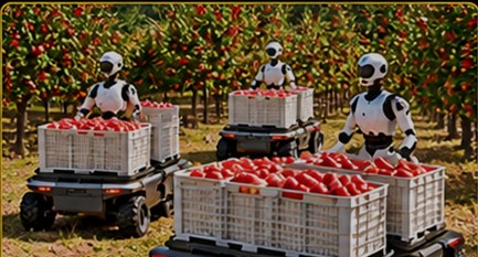
Terra Bella is seeking technology partners to integrate and field-validate a new autonomous harvesting model, combining Terra Bella’s intelligence and sensing capabilities with proven robotic and agricultural automation technologies.
Integrate existing robotic platforms with Terra Bella’s intelligence layer to accelerate development of a complete autonomous harvesting solution.
Explore how Terra Bella’s satellite-to-field intelligence can complement existing automation, controls and agricultural technology platforms.
Satellite, software, sensing and intelligence capabilities already exist.
Focus on integration and field validation rather than developing the complete technology stack.
Commercial orchard harvesting represents a substantial opportunity for scalable automation.
Partners can help shape the integration model and participate in its path to commercialization.
Drone-enabled detection | Spatial awareness | Actionable intelligence. Powered by the Environmental Intelligence Platform.
Remote detection of ionizing radiation: drone-enabled intelligence. Turning field detection into actionable intelligence.
Detect ionizing radiation using drone-mounted sensing.
Spatially aware sensing supports directional identification and source localization.
Integrated telemetry connects field detection with the platform for analysis and operator notification.
One integrated pathway from airborne sensing to operational intelligence.
Sensor. Telemetry. Platform. Intelligence. One integrated capability.
More than detection: adding direction, location and context to the operational picture.
Spatially aware sensor arrays provide directional information on detected ionizing radiation.
Multiple observations can support triangulation and more precise source location.
Drone deployment extends detection capability into areas where direct access may be difficult or undesirable.
Integrated telemetry connects detection data directly with the Environmental Intelligence Platform for analysis and reporting.
Detection with direction, location and context, not simply an alarm.
Turning detection data into a clear operational picture.
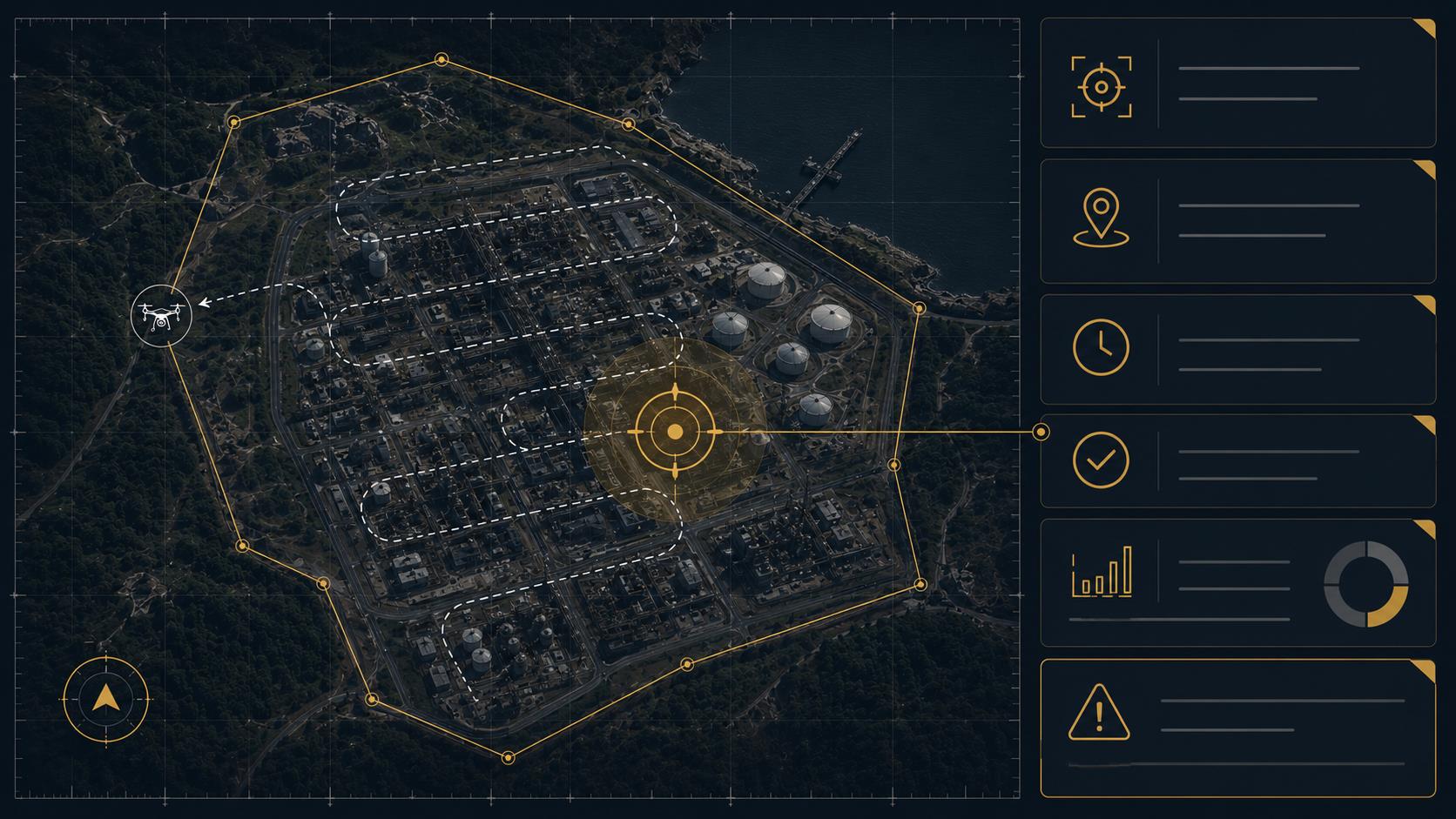 Conceptual operational view
| Geolocation | GPS tagging |
| Field of view | 360 omnidirectional |
| Energy resolution | 3% @ 662 keV |
| Active detector volume | 135 cm³ |
| Positional accuracy | ± 2 m² |
Fast location of hotspots with integrated gamma camera (quick detection within 2 m area).
Ionizing radiation detection is one capability within a broader multi-domain, multi-modal platform.
Detect. Locate. Understand. Act.
Integrated sensing capabilities across air, water and soil.
Satellite capabilities extend monitoring to a global, 24/7 environment.
Broader capability for chemical, biological and radiological detection.
Spatially aware sensors, integrated telemetry and the Environmental Intelligence Platform bring multiple sources of information together.
One integrated platform. Multiple sensing capabilities. A broader operational intelligence picture.
Delivering integrated environmental intelligence that enables organizations to make faster, more informed and more confident operational and environmental decisions.
Customers don’t buy technology. They buy outcomes.
Those are decisions, and the platform helps make better decisions by bringing together information from multiple technologies.
One platform • Multiple capabilities • Actionable intelligence. Customers purchase an integrated decision-support platform, not individual technologies.
A unified decision-support environment that transforms multiple technologies into actionable intelligence.
Satellite and aerial data acquisition.
AI-driven data processing and interpretation.
Ground-based validation and investigation.
Fixed and mobile environmental monitoring.
Continuous monitoring and risk assessment.
Integrated reporting and actionable insights.
Why choose one platform instead of assembling solutions from multiple vendors.
| Category | Typical capability | Platform advantage |
|---|---|---|
| Satellite data providers | Satellite imagery | Integrated analytics and decision support |
| GIS & analytics platforms | Data visualization | Multi-source intelligence platform |
| Exploration consultancies | Technical expertise | Scalable software-enabled workflows |
| Drone & field services | Site-specific data collection | Integration with remote sensing and analytics |
| Sensor & telemetry providers | Monitoring hardware | Unified intelligence across multiple technologies |
| Traditional exploration methods | Independent workflows | Coordinated, data-driven decision support |
The advantage is not a single technology, but the ability to integrate remote sensing, analytics, field verification and ongoing monitoring into a unified decision-support environment.
Reduce the time, cost and uncertainty of early-stage exploration by combining remote sensing, geospatial analytics and field verification into a single coordinated intelligence workflow.
Supporting more informed exploration decisions through integrated geospatial intelligence and environmental data.
Supporting environmental stewardship, regulatory compliance and operational risk management.
Supporting long-term environmental stewardship, rehabilitation planning and ESG performance.
Mining is the initial commercial focus, while the platform is designed for future expansion into adjacent sectors.
A structured pilot-led engagement model enables customers to validate technical performance, reduce investment risk and build confidence before committing to broader commercial deployment.
Define the opportunity. Understand objectives.
Review data. Define pilot scope.
Validate the solution. Demonstrate value with real-world data.
Measure outcomes. Confirm success.
Build the business case. Secure approval.
Expand implementation. Introduce recurring services.
Terra Bella + Partners
Integration • Field trials • Commercial validation
From insight to impact